This acquisition does not have an image.
Photographs, Films
complete
8/26/1992
Acquisition Agent:
complete
8/26/1992
Acquisition Agent:
Acquisition Objects
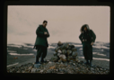
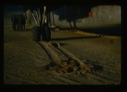
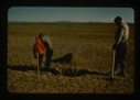
![Image of Count Eigil Knuth performing archaeological fieldwork on Eskimo [Inuit] tent rings](/media/Thumbnails/1992.20_kiosk/JPEG_flipped/1992.20.166_flip.png)
![Image of Count Eigil Knuth performing archaeological fieldwork on Eskimo [Inuit] tent rings](/media/Thumbnails/1992.20_kiosk/JPEG_flipped/1992.20.167_flip.png)
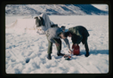
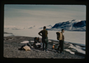
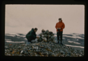
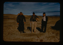
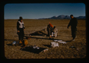
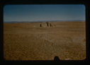
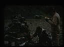
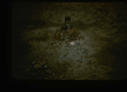
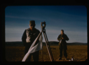
![Image of Count Eigil Knuth doing archaeological studies, Centrum Lake. Eskimo [Inuit] tent rings](/media/Thumbnails/1992.20_kiosk/JPEG_flipped/1992.20.179_flip.png)
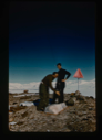
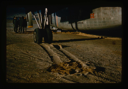
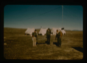
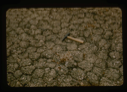
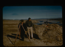
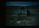
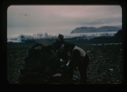
![Image of Close up view of Count Knuth investigating Eskimo [Inuit] tent ring at Centrum Lake](/media/Thumbnails/1992.20_kiosk/JPEG_flipped/1992.20.180_flip.png)
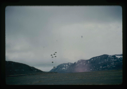
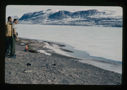
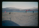
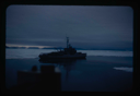
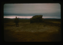
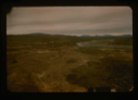
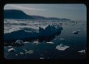
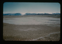
![Image of Dobbelsodal Lake [Dobbeltsoen] at Cape Morris Jesup, looking north.](/media/Thumbnails/1992.20_kiosk/JPEG_flipped/1992.20.102_flip.png)
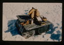
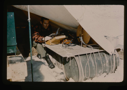
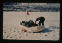
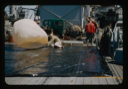
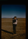
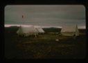
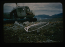
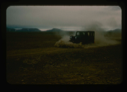
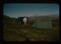
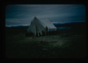
![Image of View of para-igloo [iglu] tent, housing 4 persons plus equipment.](/media/Thumbnails/1992.20_kiosk/JPEG_flipped/1992.20.103_flip.png)
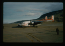
![Image of Access road to Greenland Ice Cap from Etah Eskimo [Inughuit] village.](/media/Thumbnails/1992.20_kiosk/JPEG_flipped/1992.20.31_flip.png)


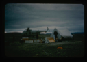
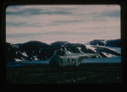
![Image of Eskimo [Inughuit] sod hut. Sgt. D. Craven, U.S.A.F. standing by](/media/Thumbnails/1992.20_kiosk/JPEG_flipped/1992.20.12_flip.png)
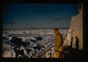
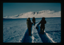
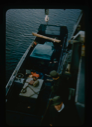
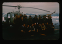
![Image of Eskimos [Inuit] from Ellesmere Island, NWT, on icebreaker U.S.S. Atka](/media/Thumbnails/1992.20_kiosk/JPEG_flipped/1992.20.51_flip.png)
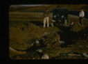
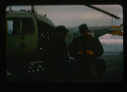
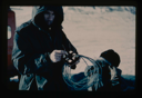
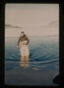
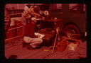
![Image of Elllesmere Island Eskimos [Inuit] aboard the U.S.S. Atka to be checked by doctor.](/media/Thumbnails/1992.20_kiosk/JPEG_flipped/1992.20.118_flip.png)
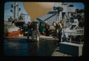
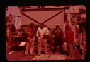
![Image of Eskimos [Inuit] from Ellesmere Island being checked by ship doctor of U.S.S. Atka.](/media/Thumbnails/1992.20_kiosk/JPEG_flipped/1992.20.181_flip.png)
![Image of Eskimos [Inuit] from Ellesmere Island being checked by ship's doctor of U.S.S. Atka.](/media/Thumbnails/1992.20_kiosk/JPEG_flipped/1992.20.186_flip.png)
![Image of Eskimos [Inuit] from Ellesmere Island being checked by ship's doctor of U.S.S. Atka.](/media/Thumbnails/1992.20_kiosk/JPEG_flipped/1992.20.187_flip.png)
![Image of Eskimos [Inuit] from Ellesmere Island being checked by ship's doctor of U.S.S. Atka.](/media/Thumbnails/1992.20_kiosk/JPEG_flipped/1992.20.188_flip.png)
Your current search criteria is: Acquisition is "Stanley Needleman Collection, 2".