This acquisition does not have an image.
Photographs, Film
complete
8/22/1992
Acquisition Agent:
complete
8/22/1992
Acquisition Agent:
Acquisition Objects
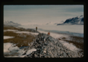
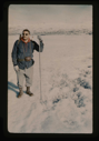
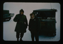
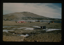
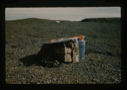
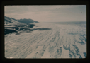
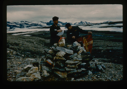
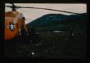
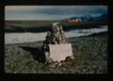
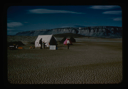
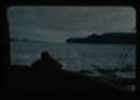
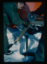
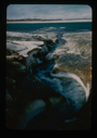
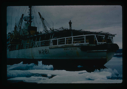
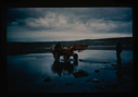
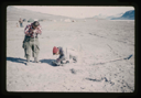
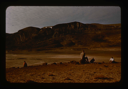
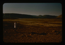
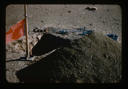
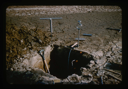
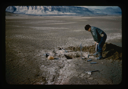
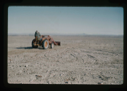
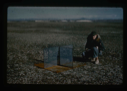
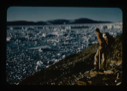
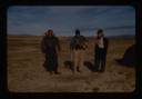
![Image of [Peary's] Cairn at Cape Morris Jesup. Dr. William E. Davies, Geologist](/media/Thumbnails/1992.19_kiosk/JPEG_flipped/1992.19.18_flip.png)
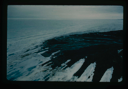
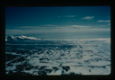
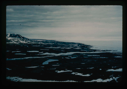
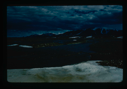
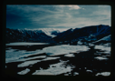
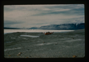
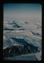
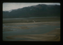
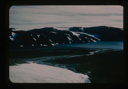
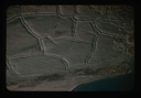
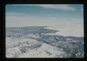
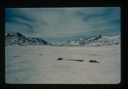
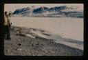
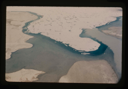
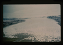
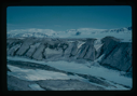
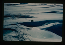
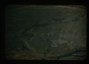
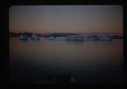
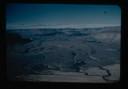
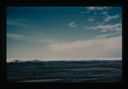
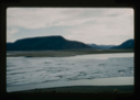
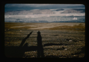
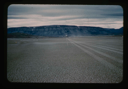
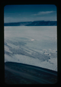
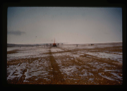
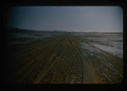
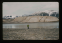
![Image of Independence Fjord and glaciers flowing adjacent to Bronlunds Fjord [aerial]](/media/Thumbnails/1992.19_kiosk/JPEG_flipped/1992.19.111_flip.png)
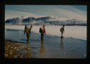
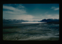
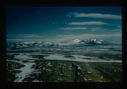
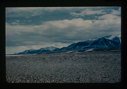
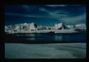
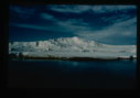
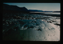
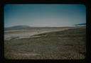
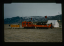
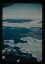
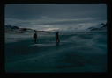
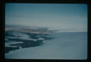
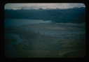
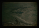
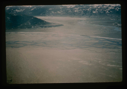
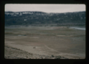
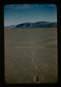
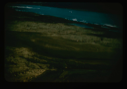
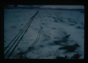
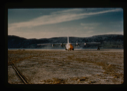
![Image of Independence Fjord intersects Bronlunds Fjord, glaciers and fjord ice [aerial]](/media/Thumbnails/1992.19_kiosk/JPEG_flipped/1992.19.112_flip.png)
Your current search criteria is: Acquisition is "Stanley Needleman Collection, 1".