Close up view of soil polygons of surface of airstrip, Polaris Promontory.
| Showing 1 of 1 |
|
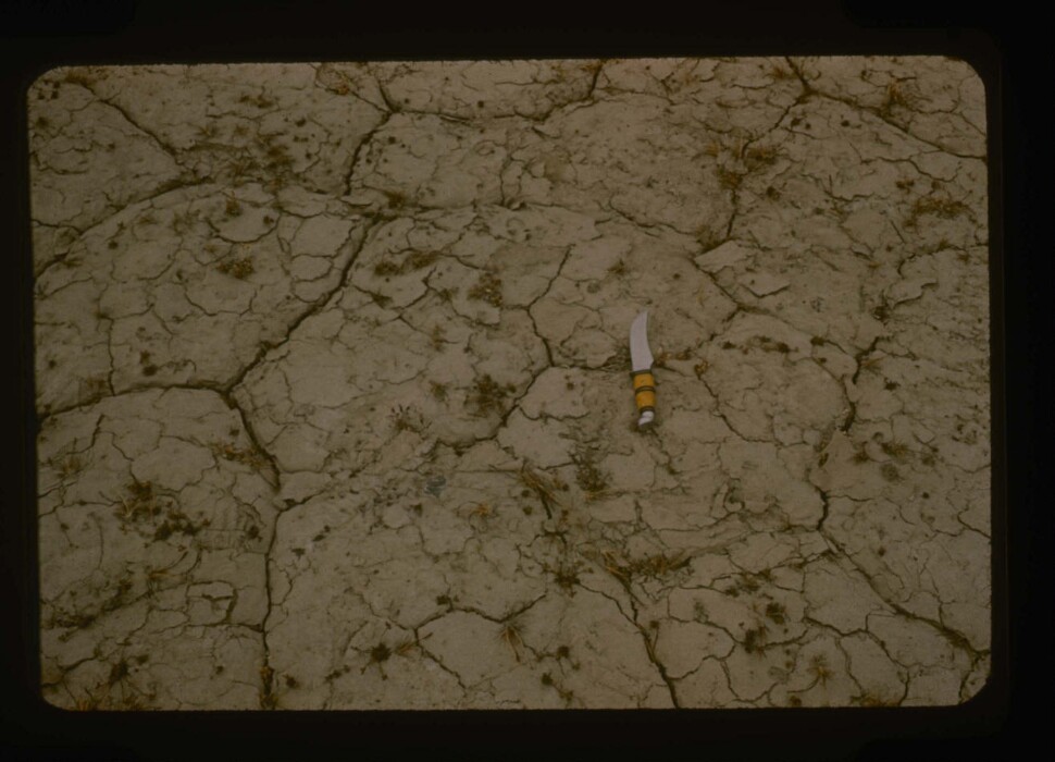
Close up view of soil polygons of surface of airstrip, Polaris Promontory.
20th century Greenland Image
July 195820th century
1 15/16 in. (5 cm)
Object Type:
Image
Creation Places:
North America, Greenland, North Greenland
Medium and Support:
35mm slide
Accession Number:
1992.20.73
Keywords
Click a term to view the records with the same keyword
Location
Latitude: 81.89288, Longitude: -60.806029
Acquisition List
This object was included in the following acquisitions:
Portfolio List
Click a portfolio name to view all the objects in that portfolio
This object is a member of the following portfolios:
Your current search criteria is: Objects is "Close up view of soil polygons of surface of airstrip, Polaris Promontory.".
View current selection of records as: