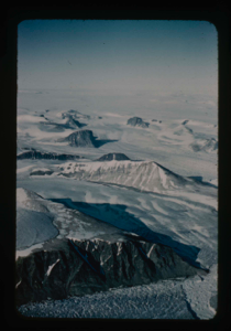
Nunataks of Peary Land, North Greenland. View toward ice cap.
Stanley Needleman
35mm slide
20th century Greenland image
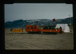
Advance party of US Army Ice Cap Expedition (Lead Dog Operation)
Stanley Needleman
35mm slide
20th century Greenland image
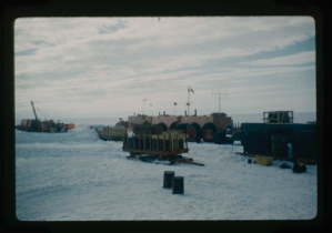
US Army Lead Dog Expedition on a surface operation on Greenland Ice Cap
Stanley Needleman
35mm slide
20th century Greenland image
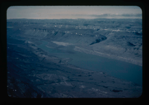
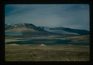
View of Bronlunds Fjord area. View toward ice cap.
Stanley Needleman
35mm slide
20th century Greenland image
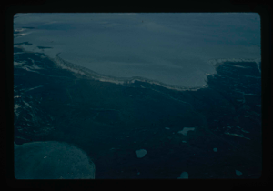
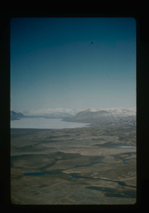
View of main Greenland ice cap and access route
Stanley Needleman
35mm slide
20th century Greenland image
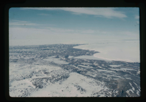
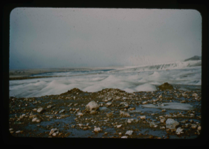
Edge of Greenland Ice Cap in Peary Land. Locating a suitable access route down
Stanley Needleman
35mm slide
20th century Greenland image
Grassrig (Graeselven) River winding back to ice cap.
Stanley Needleman
35mm slide
20th century Greenland image
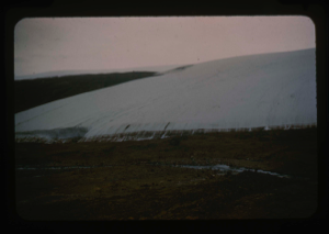
Edge of Greenland Ice Cap in Peary Land. Searching for access to Centrum Lake
Stanley Needleman
35mm slide
20th century Greenland image
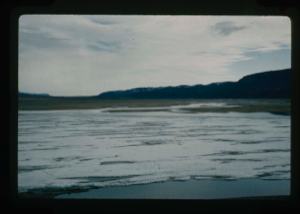
View of Grassrig (Graeselven) River toward Greenland Ice Cap. Ice still in lake
Stanley Needleman
35mm slide
20th century Greenland image
View north. Ice cap in background.
Stanley Needleman
35mm slide
20th century Greenland Image
Edge of Greenland Ice Cap to locate access route down from the Ice Cap
Stanley Needleman
35mm slide
20th century Greenland Image
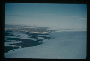
Access route in Northeast Greenland to ice cap and down to Centrum Lake.
Stanley Needleman
35mm slide
20th century Greenland Image
Your current search criteria is: Keyword is "EHJ" and [Objects]Object Type is "Image" and [Objects]Nationality is "Greenland" and [Objects]Display Artist is "Stanley Needleman".
View current selection of records as: