
 by Country (2)
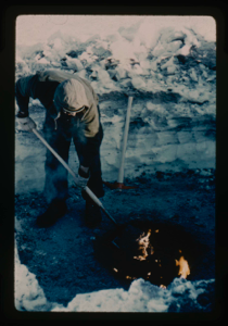
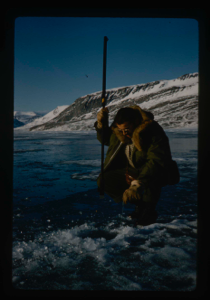
Digging in permafrost at Centrum Lake, snow cover of 2 ft. Use of oil fire to m
Stanley Needleman
35mm slide
20th century Greenland image
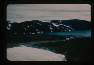
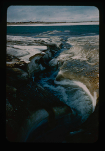
Drainage from terrace into Centrum Lake; snow cover still on terrace.
Stanley Needleman
35mm slide
20th century Greenland image
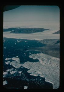
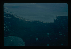
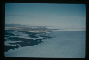
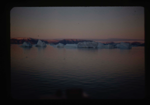
View of Bronlunds Fjord from the air. Note floating icebergs.
Stanley Needleman
35mm slide
20th century Greenland image
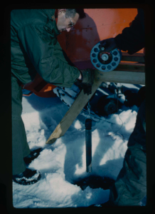
Measuring depth and contour of Centrum Lake by dropped weight on cable
Stanley Needleman
35mm slide
20th century Greenland image
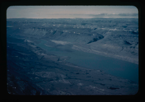
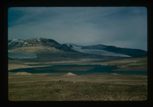
View of Bronlunds Fjord area. View toward ice cap.
Stanley Needleman
35mm slide
20th century Greenland image
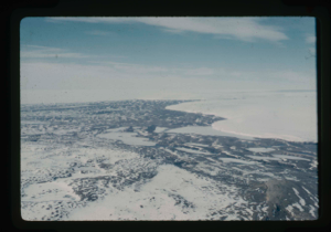
View of main Greenland ice cap and access route
Stanley Needleman
35mm slide
20th century Greenland image
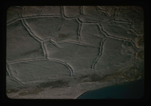
Permafrost raised polygons from the air in Peary Land.
Stanley Needleman
35mm slide
20th century United States image
View north, frozen Graeselven River. Personnel: Dr. Dan Krinsely USGS.
Stanley Needleman
35mm slide
20th century Greenland image
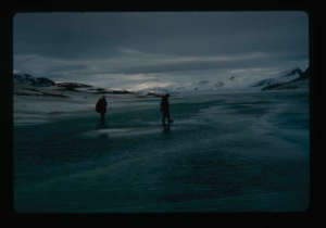
Testing of lake ice during melt of Centrum Lake, average thickness is 4 feet
Stanley Needleman
35mm slide
20th century Greenland image
Edge of Greenland Ice Cap in Peary Land. Locating a suitable access route down
Stanley Needleman
35mm slide
20th century Greenland image
Drainage of high areas into Centrum Lake.
Stanley Needleman
35mm slide
20th century Greenland image
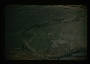
Grassrig (Graeselven) River winding back to ice cap.
Stanley Needleman
35mm slide
20th century Greenland image
Edge of Greenland Ice Cap in Peary Land. Searching for access to Centrum Lake
Stanley Needleman
35mm slide
20th century Greenland image
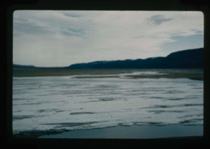
View of Grassrig (Graeselven) River toward Greenland Ice Cap. Ice still in lake
Stanley Needleman
35mm slide
20th century Greenland image
![Image of Independence Fjord and glaciers flowing adjacent to Bronlunds Fjord [aerial]](/media/Previews/1992.19_kiosk/JPEG_flipped/1992.19.111_flip.png)
Independence Fjord and glaciers flowing adjacent to Bronlunds Fjord [aerial]
Stanley Needleman
35mm slide
20th century Greenland image
![Image of Independence Fjord intersects Bronlunds Fjord, glaciers and fjord ice [aerial]](/media/Previews/1992.19_kiosk/JPEG_flipped/1992.19.112_flip.png)
Independence Fjord intersects Bronlunds Fjord, glaciers and fjord ice [aerial]
Stanley Needleman
35mm slide
20th century Greenland image
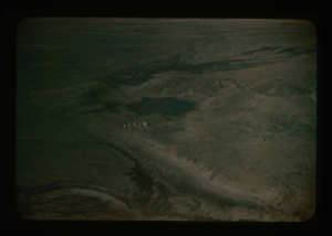
Aerial view of runway area on Polaris Promontory. Tents in lower left
Stanley Needleman
35mm slide
20th century Greenland image
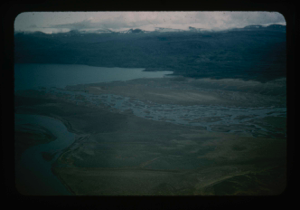
View north of Saefaxi River draining into Centrum Lake. Raised delta
Stanley Needleman
35mm slide
20th century Greenland image
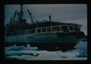
Icebreaker USCG Westwind, lands Air Force research team plus equipment by LCVP
Stanley Needleman
35mm slide
20th century Greenland image
Landing barge from the icebreaker to Polaris Promontory beach. Required skirting
Stanley Needleman
35mm slide
20th century Greenland image
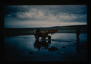
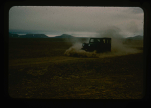
Tractor crossing on Polaris Promontory. Duckboards were used to ford the rivers.
Stanley Needleman
35mm slide
20th century Greenland image
Aerial view at lower altitude of runway area on Polaris Promontory.
Stanley Needleman
35mm slide
20th century Greenland image
Light grading of runway microrelief on Polaris Promontory.
Stanley Needleman
35mm slide
20th century Greenland image

Completed natural runway on Polaris Promontory. Red flags mark path
Stanley Needleman
35mm slide
20th century Greenland image
Your current search criteria is: Acquisition is "Stanley Needleman Collection, 1".
View current selection of records as: