
 by Artist (19)
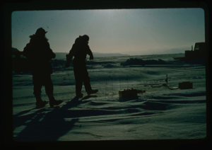
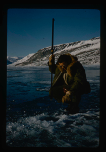
Reading deflectometers installed in sea ice north of North Star Bay near Thule
Stanley Needleman
35mm slide
20th century Greenland Image
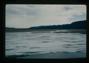
Measuring depth and contour of Centrum Lake by dropped weight on cable
Stanley Needleman
35mm slide
20th century Greenland image
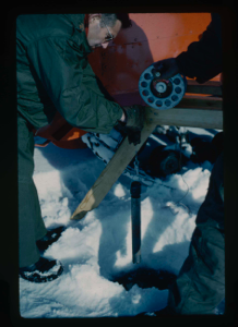
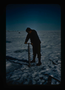
Installating plastic markers to measure ice thickness and loss of ice in thaw
Stanley Needleman
35mm slide
20th century Greenland Image
Aerial view of Danmarks Fjord.
Stanley Needleman
35mm slide
20th century Greenland Image

U.S.S. Atka anchored at edge of pack ice near Thule AFB.
Stanley Needleman
35mm slide
20th century Greenland Image
View north, frozen Graeselven River. Personnel: Dr. Dan Krinsely USGS.
Stanley Needleman
35mm slide
20th century Greenland image
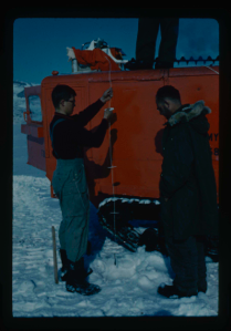
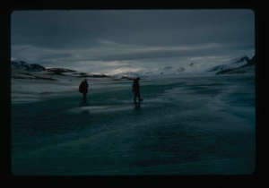
Testing of lake ice during melt of Centrum Lake, average thickness is 4 feet
Stanley Needleman
35mm slide
20th century Greenland image
View of Grassrig (Graeselven) River toward Greenland Ice Cap. Ice still in lake
Stanley Needleman
35mm slide
20th century Greenland image
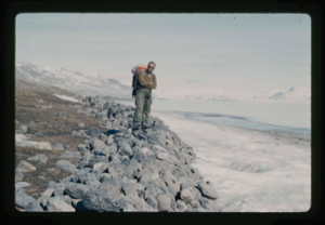
Frank Maher standing on gravel pushed by Centrum Lake ice onto northwest shore.
Stanley Needleman
35mm slide
20th century Greenland Image
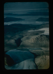
![Image of Independence Fjord intersects Bronlunds Fjord, glaciers and fjord ice [aerial]](/media/Previews/1992.19_kiosk/JPEG_flipped/1992.19.112_flip.png)
Independence Fjord intersects Bronlunds Fjord, glaciers and fjord ice [aerial]
Stanley Needleman
35mm slide
20th century Greenland image
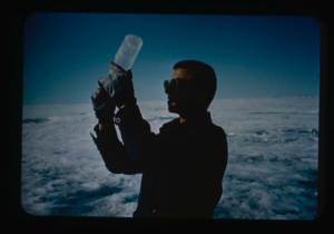
Coring the snow-ice cover of the lake (Lake Peters)
Stanley Needleman
35mm slide
20th century Greenland Image
Ice coring on Ice Island T-3 (Columbia University student Isacks).
Stanley Needleman
35mm slide
20th century Arctic Ocean Image
Your current search criteria is: Keyword is "CIU" and [Objects]Century is "20th century" and [Objects]Object Type is "Image".
View current selection of records as: