
 by Artist (2)
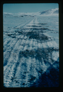
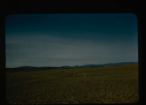
Melting snow mounds on runway on delta at Centrum Lake. Note tents of base camp
Stanley Needleman
35mm slide
20th century Greenland Image
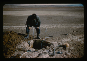
Soil test pits, airfield penetrometer on airstrip at Bronlunds Fjord.
Stanley Needleman
35mm slide
20th century Greenland Image

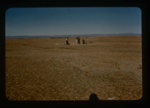
Marking runway orientation for surveying. Lt. Col. Wilson and Stanley Needleman.
Stanley Needleman
35mm slide
20th century Greenland Image
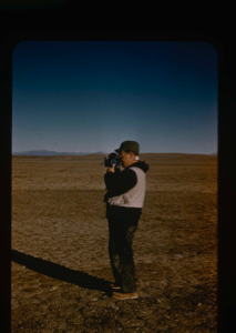
Photographing airstrip orientations. Personnel: Davies.
Stanley Needleman
35mm slide
20th century Greenland Image
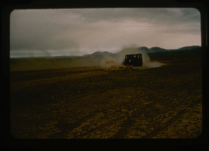
Aerial view of dozing/levelling of airstrip surface by jeep with plow blade.
Stanley Needleman
35mm slide
20th century Greenland Image
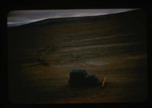
Jeep dozing of airstrip, Polaris Promontory.
Stanley Needleman
35mm slide
20th century Greenland Image
Profile of soil in the airstrip areas, Polaris Promontory.
Stanley Needleman
35mm slide
20th century Greenland Image
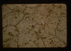
Close up view of soil polygons of surface of airstrip, Polaris Promontory.
Stanley Needleman
35mm slide
20th century Greenland Image
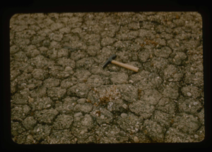
Close up view of harder surface, airstrip area, Polaris Promontory.
Stanley Needleman
35mm slide
20th century Greenland Image
Alternate runway orientation, Polaris Promontory.
Stanley Needleman
35mm slide
20th century Greenland Image
Size perspective of airstrip. 5000 feet in length plus overrun areas.
Stanley Needleman
35mm slide
20th century Greenland Image
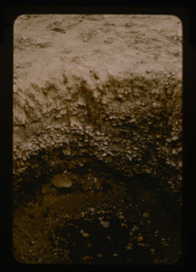
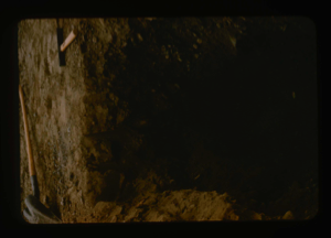
Inside a soil test pit in the center of the airstrip at Polaris Promontory
Stanley Needleman
35mm slide
20th century Greenland Image
Your current search criteria is: Keyword is "EWW" and [Objects]Nationality is "Greenland".
View current selection of records as: