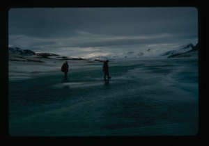
View north, frozen Graeselven River. Personnel: Dr. Dan Krinsely USGS.
Stanley Needleman
35mm slide
20th century Greenland image
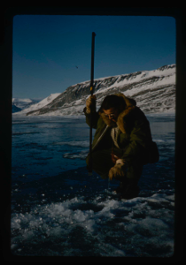
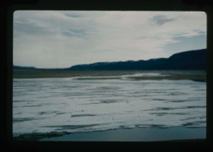
Testing of lake ice during melt of Centrum Lake, average thickness is 4 feet
Stanley Needleman
35mm slide
20th century Greenland image
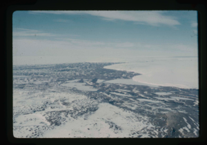
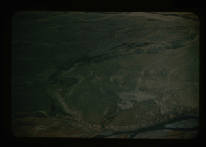
Edge of Greenland Ice Cap in Peary Land. Locating a suitable access route down
Stanley Needleman
35mm slide
20th century Greenland image
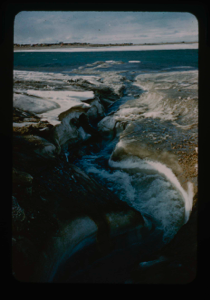
Drainage of high areas into Centrum Lake.
Stanley Needleman
35mm slide
20th century Greenland image
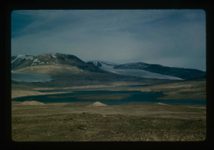
Grassrig (Graeselven) River winding back to ice cap.
Stanley Needleman
35mm slide
20th century Greenland image
Edge of Greenland Ice Cap in Peary Land. Searching for access to Centrum Lake
Stanley Needleman
35mm slide
20th century Greenland image
View of Grassrig (Graeselven) River toward Greenland Ice Cap. Ice still in lake
Stanley Needleman
35mm slide
20th century Greenland image
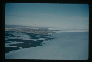
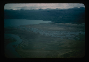
![Image of Independence Fjord and glaciers flowing adjacent to Bronlunds Fjord [aerial]](/media/Previews/1992.19_kiosk/JPEG_flipped/1992.19.111_flip.png)
Independence Fjord and glaciers flowing adjacent to Bronlunds Fjord [aerial]
Stanley Needleman
35mm slide
20th century Greenland image
![Image of Independence Fjord intersects Bronlunds Fjord, glaciers and fjord ice [aerial]](/media/Previews/1992.19_kiosk/JPEG_flipped/1992.19.112_flip.png)
Independence Fjord intersects Bronlunds Fjord, glaciers and fjord ice [aerial]
Stanley Needleman
35mm slide
20th century Greenland image
Aerial view of runway area on Polaris Promontory. Tents in lower left
Stanley Needleman
35mm slide
20th century Greenland image
View north of Saefaxi River draining into Centrum Lake. Raised delta
Stanley Needleman
35mm slide
20th century Greenland image
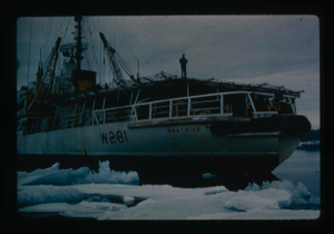
Icebreaker USCG Westwind, lands Air Force research team plus equipment by LCVP
Stanley Needleman
35mm slide
20th century Greenland image
Your current search criteria is: Acquisition is "Stanley Needleman Collection, 1" and [Objects]Nationality is "Greenland".
View current selection of records as: