 Stanley Needleman Operation Groundhog Photographic Collection
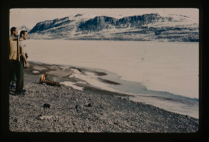
Moat developing around edge of Centrum Lake. Personnel: Dan Krinsely USGS, and ?
Stanley Needleman
35mm slide
20th century Greenland image
Edge of Greenland Ice Cap in Peary Land. Searching for access to Centrum Lake
Stanley Needleman
35mm slide
20th century Greenland image
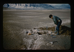
Checking bottom sampling tube in Centrum Lake tests.
Stanley Needleman
35mm slide
20th century Greenland image
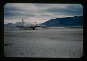
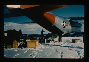
C-124 aircraft test landing on natural surface runway at Bronlunds Fjord.
Stanley Needleman
35mm slide
20th century Greenland image
Track of C-124 USAF aircraft on runway, Bronlunds Fjord natural surface. No ruts
Stanley Needleman
35mm slide
20th century Greenland image
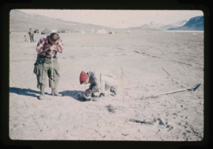
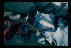
Testing bearing strength at Centrum Lake - proving ring model
Stanley Needleman
35mm slide
20th century Greenland image
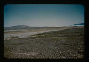
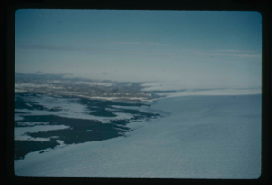
North of area surrounding natural runway, Bronlunds Fjord. Icebergs beyond
Stanley Needleman
35mm slide
20th century Greenland image
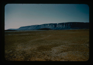
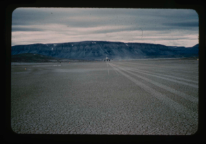
View of Bronlunds Fjord natural runway site looking south
Stanley Needleman
35mm slide
20th century Greenland image
Testing of bearing strength on runway site at Bronlunds Fjord. Stan Needleman
Stanley Needleman
35mm slide
20th century Greenland image
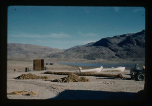
Two boats, 16 ft & 18 ft, with outboard motors, used to survey Centrum Lake
Stanley Needleman
35mm slide
20th century Greenland image
Installing of thermistor cable to measure temperatures; mounted on drums
Stanley Needleman
35mm slide
20th century Greenland image
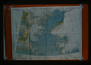
View of Smith Sound World Aeronautical Chart to show areas of investigation
Stanley Needleman
35mm slide
20th century Greenland image
Your current search criteria is: Portfolio is "Stanley Needleman Operation Groundhog Photographic Collection" and [Objects]Nationality is "Greenland".
View current selection of records as: