
 by Country (5)
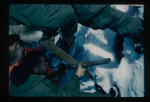
 Stanley Needleman Operation Groundhog Photographic Collection
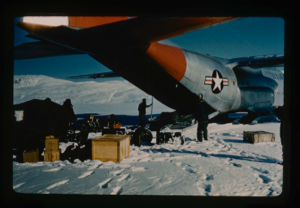
SA-16 aircraft dropping supplies and mail on runway at Bronlunds Fjord airfield
Stanley Needleman
35mm slide
20th century Greenland image
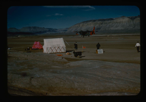
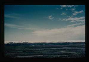
Study of soil polygons in foreground near runway site at Bronlunds Fjord site.
Stanley Needleman
35mm slide
20th century Greenland image
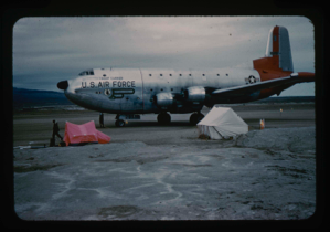
C-124 at base camp after successful test landings on unimproved natural runway
Stanley Needleman
35mm slide
20th century Greenland image
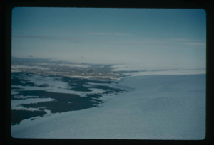
View of Bronlunds Fjord area. View toward ice cap.
Stanley Needleman
35mm slide
20th century Greenland image
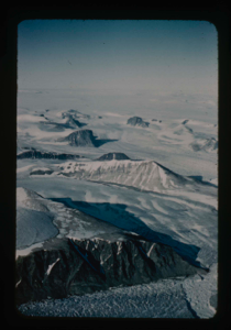
Nunataks of Peary Land, North Greenland. View toward ice cap.
Stanley Needleman
35mm slide
20th century Greenland image
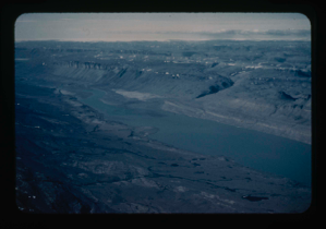
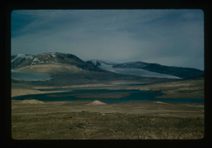
Drainage of high areas into Centrum Lake.
Stanley Needleman
35mm slide
20th century Greenland image
View north toward Greenland Ice Cap.
Stanley Needleman
35mm slide
20th century Greenland image
Grassrig (Graeselven) River winding back to ice cap.
Stanley Needleman
35mm slide
20th century Greenland image
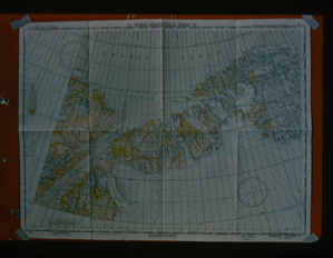
Map of Robeson Channel indicating all areas along North Greenland coast
Stanley Needleman
35mm slide
20th century Greenland image
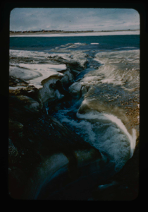
Moat developing around edge of Centrum Lake. Personnel: Dan Krinsely USGS, and ?
Stanley Needleman
35mm slide
20th century Greenland image
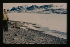
Edge of Greenland Ice Cap in Peary Land. Searching for access to Centrum Lake
Stanley Needleman
35mm slide
20th century Greenland image
Checking bottom sampling tube in Centrum Lake tests.
Stanley Needleman
35mm slide
20th century Greenland image
Your current search criteria is: Portfolio is "Stanley Needleman Operation Groundhog Photographic Collection" and [Objects]Object Type is "Image".
View current selection of records as: