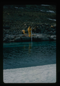
Gauging water level in moat at Centrum Lake to monitor melt conditions
Stanley Needleman
35mm slide
20th century Greenland Image
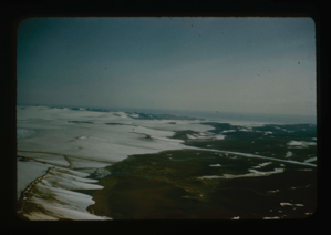
Access route - Greenland Ice Cap to Centrum Lake base by Graeselv River
Stanley Needleman
35mm slide
20th century Greenland Image
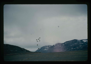
Resupply of base camp at Centrum Lake by parachute air drops
Stanley Needleman
35mm slide
20th century Greenland Image
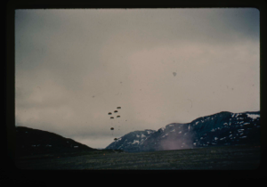
Airdrops from aircraft onto Centrum Lake delta containing fuel, rations, mail
Stanley Needleman
35mm slide
20th century Greenland Image
Needleman checks edge of delta under snowcover and drainage features
Stanley Needleman
stereo transparency
20th century Greenland Image
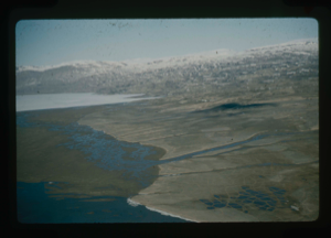
Aerial view, patterned ground of soil polygons on delta at Centrum Lake.
Stanley Needleman
35mm slide
20th century Greenland Image
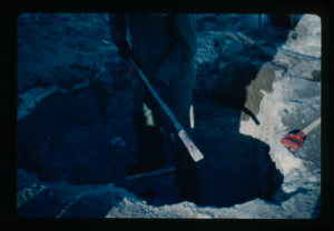
Using heated crowbar chisel to chop frozen soil and extend the drill hole
Stanley Needleman
35mm slide
20th century Greenland Image
Air view of Centrum Lake Base Camp toward the north. Note thawed Saefaxi River,
Stanley Needleman
35mm slide
20th century Greenland Image
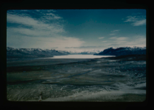
Centrum Lake Valley. View from the west. Ice cap in the background.
Stanley Needleman
35mm slide
20th century Greenland image
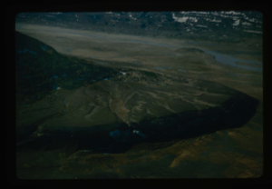
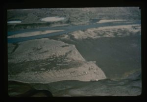
Aerial view northeast section of delta at Centrum Lake. Saefaxi River
Stanley Needleman
35mm slide
20th century Greenland Image
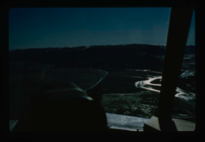
Closer view of airstrip at Centrum Lake through window of helicopter. Ice cover
Stanley Needleman
35mm slide
20th century Greenland Image
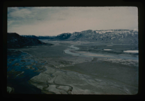
View of delta, west-northwest, Centrum Lake, Graeselv River - braided stream
Stanley Needleman
35mm slide
20th century Greenland Image
Your current search criteria is: Keyword is "CDC" and [Objects]Nationality is "Greenland".
View current selection of records as: