 Stanley Needleman Operation Groundhog Photographic Collection
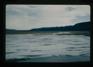
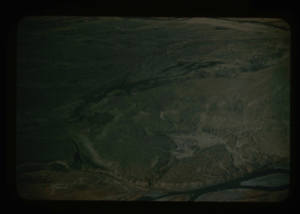
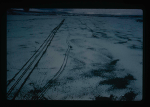
View of Grassrig (Graeselven) River toward Greenland Ice Cap. Ice still in lake
Stanley Needleman
35mm slide
20th century Greenland image
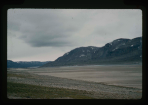
View of raised delta in dry state.
Stanley Needleman
35mm slide
20th century Greenland image
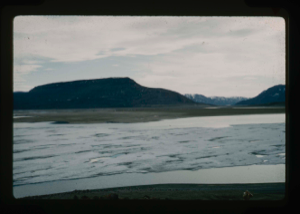
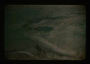
View of raised delta from moat on Centrum Lake. Some ice still floating in lake
Stanley Needleman
35mm slide
20th century Greenland image
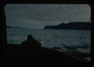
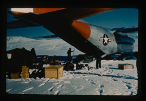
Enroute - Thule AFB to Polaris Promontory by icebreaker U.S.S. ATKA
Stanley Needleman
35mm slide
20th century Greenland image
Aerial view of runway area on Polaris Promontory. Tents in lower left
Stanley Needleman
35mm slide
20th century Greenland image
Aerial view at lower altitude of runway area on Polaris Promontory.
Stanley Needleman
35mm slide
20th century Greenland image
Light grading of runway microrelief on Polaris Promontory.
Stanley Needleman
35mm slide
20th century Greenland image

Completed natural runway on Polaris Promontory. Red flags mark path
Stanley Needleman
35mm slide
20th century Greenland image
Aerial view of runway from helicopter looking north. Arctic Ocean 25 miles away
Stanley Needleman
35mm slide
20th century Greenland image
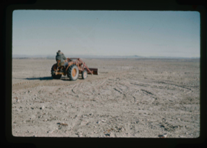
Tractor/grader completed modification of runway surface microrelief.
Stanley Needleman
35mm slide
20th century Greenland image
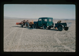
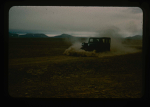
Tractor and jeep with trailer were the field transports to prepare runway.
Stanley Needleman
35mm slide
20th century Greenland image
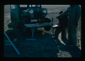
Loading jeep to provide soil engineering data in testing of runway.
Stanley Needleman
35mm slide
20th century Greenland image
Your current search criteria is: Portfolio is "Stanley Needleman Operation Groundhog Photographic Collection" and [Objects]Nationality is "Greenland".
View current selection of records as: