
 by Artist (4)
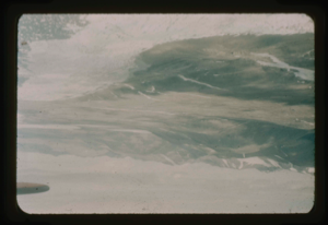
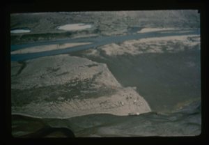
View of Cape Morris Jesup, view south. Arctic Ocean is in the foreground (Sykes)
Stanley Needleman
35mm slide
20th century Greenland Image
![Image of Omers Lake along Arctic Ocean in Northeast Greenland (R. Sykes) [Romer Sø?]](/media/Previews/1992.27_kiosk/JPEG_flipped/1992.27.213.png)
Omers Lake along Arctic Ocean in Northeast Greenland (R. Sykes) [Romer Sø?]
Stanley Needleman
35mm slide
20th century Greenland Image
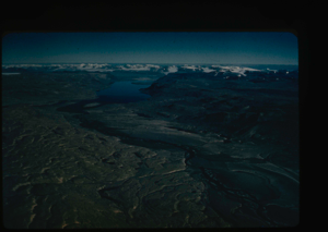
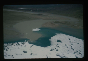
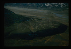
View of Centrum Lake to ice cap at south end. Peary Land (R.Sykes)
Stanley Needleman
35mm slide
20th century Greenland Image
Aerial view of Station Nord, Danish weather station, northeast tip of Greenland
Stanley Needleman
35mm slide
20th century Greenland Image
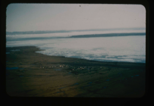
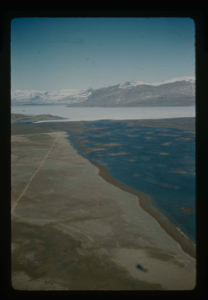
Aerial view of the airfield site on silt-clay flat at Bronlunds Fjord.
Stanley Needleman
35mm slide
20th century Greenland Image
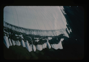
Close-up aerial view, edge of Greenland Ice Cap in Centrum Lake area
Stanley Needleman
35mm slide
20th century Greenland Image
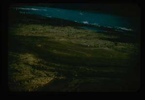
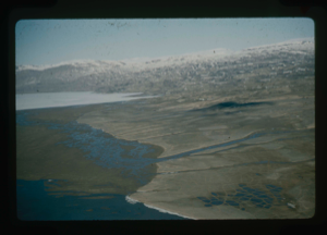
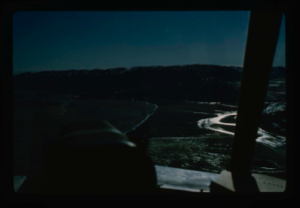
Aerial view of drainage from Saefaxi River into floodplain south of Centrum Lake
Stanley Needleman
35mm slide
20th century Greenland Image
Aertial view of Centrum Lake airstrip on delta.
Stanley Needleman
35mm slide
20th century Greenland Image
Aerial view, patterned ground of soil polygons on delta at Centrum Lake.
Stanley Needleman
35mm slide
20th century Greenland Image
Air view of Centrum Lake Base Camp toward the north. Note thawed Saefaxi River,
Stanley Needleman
35mm slide
20th century Greenland Image
Aerial view northeast section of delta at Centrum Lake. Saefaxi River
Stanley Needleman
35mm slide
20th century Greenland Image
Closer view of airstrip at Centrum Lake through window of helicopter. Ice cover
Stanley Needleman
35mm slide
20th century Greenland Image
Your current search criteria is: Keyword is "BRU" and [Objects]Object Type is "Image" and [Objects]Nationality is "Greenland".
View current selection of records as: