
 by Artist (14)
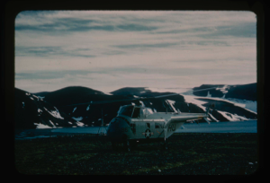
Helicopter landing caches on shore, Polaris Bay, for use by archaeologist Knuth
Stanley Needleman
35mm slide
20th century Greenland Image
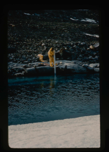
Using lake gauge to measure water depth at shoreline on Centrum Lake.
Stanley Needleman
35mm slide
20th century Greenland image
Lt. Col. Robert Wilson USAF standing on shore of the bay. View northwest
Stanley Needleman
35mm slide
20th century United States image
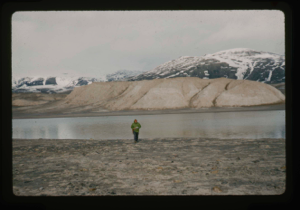
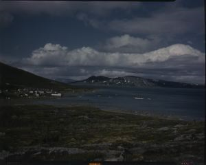
North shore of thawed out Centrum Lake. 265 ft. average depth.
Stanley Needleman
35mm slide
20th century Greenland image
![Image of Eskimos [Inuit], Nugatsiak](/media/Previews/1975.10/1975.10.1/1975.10.503.png)
Eskimos [Inuit], Nugatsiak
Rutherford Platt
safety film negative
20th century Greenland image
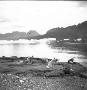
Dogs, Nugatsiak
Rutherford Platt
safety film negative
20th century Greenland image
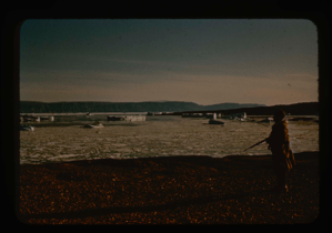
The Bowdoin moored near a settlement
Rutherford Platt
safety film positive
20th century Canada image
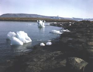
Ice along shore.
Rutherford Platt
safety film positive
20th century Greenland image
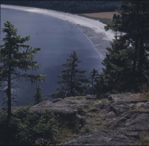
Spruce trees, mosses and grasses.
Rutherford Platt
35mm Kodachrome transparency
20th century Canada Image
![Image of Eskimo [Inuit] life - In the summer](/media/Previews/1985.5.6/1985.5.6_kiosk/1985.5.6.62.png)
Eskimo [Inuit] life - In the summer
Marius E. Johnston
silver gelatin on nitrocellulose
20th century Greenland image
![Image of Eskimos [Inuit] and tupik on rocky shore](/media/Previews/1985.5.6/1985.5.6_kiosk/1985.5.6.64.png)
Eskimos [Inuit] and tupik on rocky shore
Marius E. Johnston
silver gelatin on nitrocellulose
20th century Greenland image

Miriam MacMillan walking on rocky shore
Unidentified Artist
35mm slide
20th century Canada Image
Your current search criteria is: Keyword is "DXF" and [Objects]Object Type is "Image".
View current selection of records as: