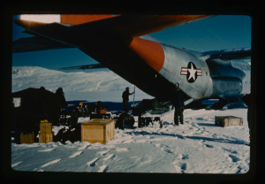
 Stanley Needleman Operation Groundhog Photographic Collection
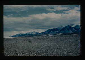
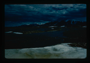
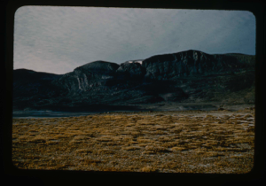
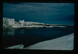
Cape Morris Jesup, North Greenland. Terrace.
Stanley Needleman
35mm slide
20th century Greenland image
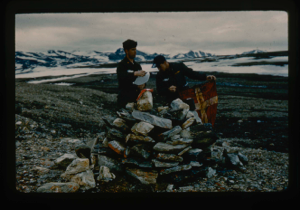
US Army helicopter pilots open cairn at Cape Morris Jesup, North Greenland.
Stanley Needleman
35mm slide
20th century Greenland image
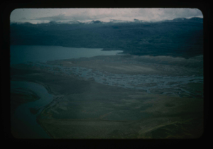
View north of Saefaxi River draining into Centrum Lake. Raised delta
Stanley Needleman
35mm slide
20th century Greenland image
View south at Cape Morris Jesup
Stanley Needleman
35mm slide
20th century Greenland image
View east at Cape Morris Jesup
Stanley Needleman
35mm slide
20th century Greenland image
View southwest at Cape Morris Jesup
Stanley Needleman
35mm slide
20th century Greenland image
View north, frozen Graeselven River. Personnel: Dr. Dan Krinsely USGS.
Stanley Needleman
35mm slide
20th century Greenland image
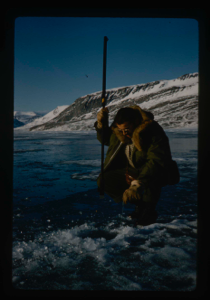
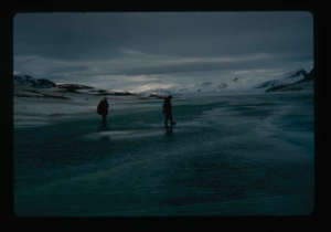
Testing of lake ice during melt of Centrum Lake, average thickness is 4 feet
Stanley Needleman
35mm slide
20th century Greenland image
Lake ice melting
Stanley Needleman
35mm slide
20th century Greenland image
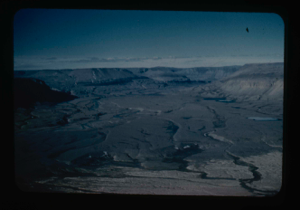
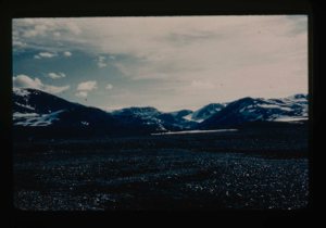
River valleys draining Greenland Ice Cap and flowing into Centrum Lake.
Stanley Needleman
35mm slide
20th century Greenland image
Tussocks on raised delta at Centrum Lake.
Stanley Needleman
35mm slide
20th century Greenland image
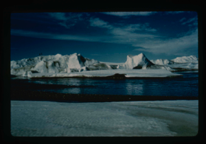
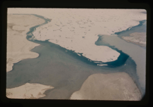
Ice ridges off Cape Morris Jesup, North Greenland coast. Arctic Ocean coastline.
Stanley Needleman
35mm slide
20th century Greenland image
Your current search criteria is: Portfolio is "Stanley Needleman Operation Groundhog Photographic Collection" and [Objects]Nationality is "Greenland".
View current selection of records as: