
 by Country (5)
 Stanley Needleman Operation Groundhog Photographic Collection
View north, frozen Graeselven River. Personnel: Dr. Dan Krinsely USGS.
Stanley Needleman
35mm slide
20th century Greenland image
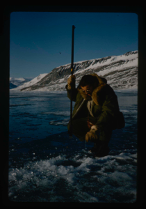
Testing of lake ice during melt of Centrum Lake, average thickness is 4 feet
Stanley Needleman
35mm slide
20th century Greenland image
Lake ice melting
Stanley Needleman
35mm slide
20th century Greenland image
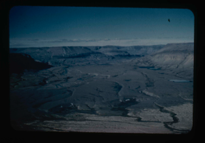
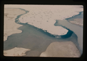
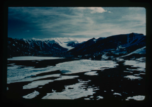
River valleys draining Greenland Ice Cap and flowing into Centrum Lake.
Stanley Needleman
35mm slide
20th century Greenland image
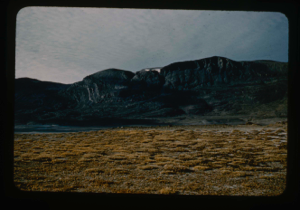
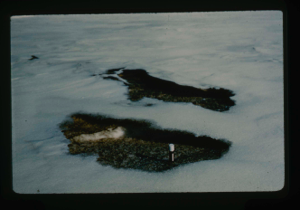
Tussocks on raised delta at Centrum Lake.
Stanley Needleman
35mm slide
20th century Greenland image
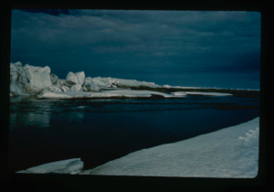
Ice ridges off Cape Morris Jesup, North Greenland coast. Arctic Ocean coastline.
Stanley Needleman
35mm slide
20th century Greenland image
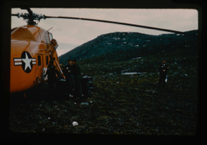
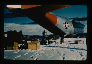
Refueling helicopters from caches at Cape Morris Jesup, North Greenland
Stanley Needleman
35mm slide
20th century Greenland image
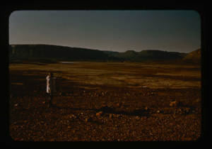
Cape Morris Jesup Valley. View southeast
Stanley Needleman
35mm slide
20th century Greenland image
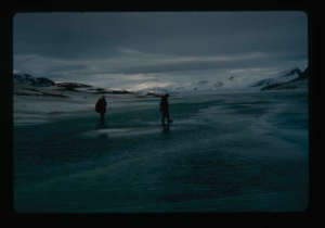
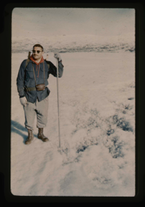
Lt. Col. Robert H. Wilson USAF, points to selected emergency aircraft runway
Stanley Needleman
35mm slide
20th century Greenland image
Melting of snow on raised delta. Sublimation in site.
Stanley Needleman
35mm slide
20th century Greenland image
Melting of ice formed into needle ice
Stanley Needleman
35mm slide
20th century Greenland image
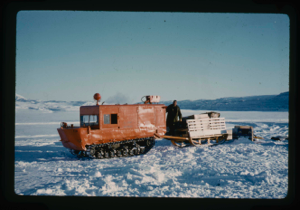
Weasel with sled as prime transport and surveying vehicle from Centrum Lake
Stanley Needleman
35mm slide
20th century Greenland image
Your current search criteria is: Portfolio is "Stanley Needleman Operation Groundhog Photographic Collection" and [Objects]Object Type is "Image".
View current selection of records as: