
 by Artist (3)
 Stanley Needleman Operation Groundhog Photographic Collection
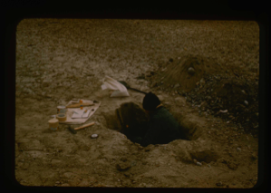
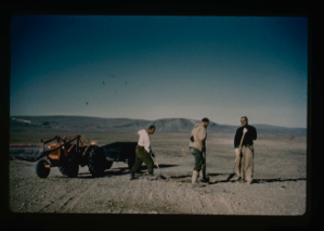
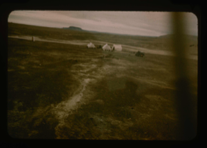
Soil tests at Polaris Promontory. Personnel: Capt. Klick.
Stanley Needleman
35mm slide
20th century Greenland Image
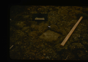
Soil compaction by tamping of surface by sledge hammer at Polaris Promontory.
Stanley Needleman
35mm slide
20th century Greenland Image
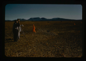
Surveying of airstrip, Polaris Promontory, Personnel: Davies, Norvang.
Stanley Needleman
35mm slide
20th century Greenland Image
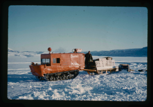
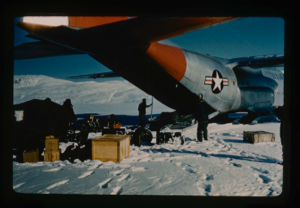
Weasel with sled as prime transport and surveying vehicle from Centrum Lake
Stanley Needleman
35mm slide
20th century Greenland image
Personnel cleaning airstrip of loose rocks. Lt. Col. Wiener, Dr. Anker Weidick,
Stanley Needleman
35mm slide
20th century Greenland Image
Carrying equipment for stakes in surveying. Davies, Norvang, Danish Government,
Stanley Needleman
35mm slide
20th century Greenland Image
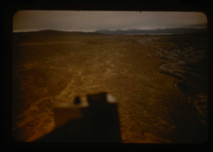
Aerial view of airstrip at Polaris Promontory. View north, Newman Bay beyond
Stanley Needleman
35mm slide
20th century Greenland Image
Aerial view of airstrip plus base camp at Polaris Promontory.
Stanley Needleman
35mm slide
20th century Greenland Image
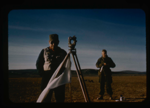
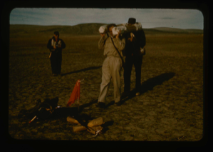
Surveying by theodolite on Polaris Promontory. C.F. Davies and Capt. Klick
Stanley Needleman
35mm slide
20th century Greenland Image
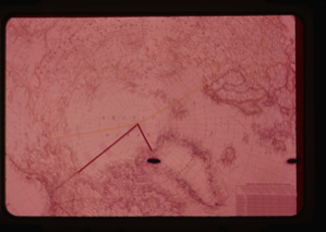
Top of the world map showing regions and sites explored by USAF
Stanley Needleman
35mm slide
20th century Greenland Image
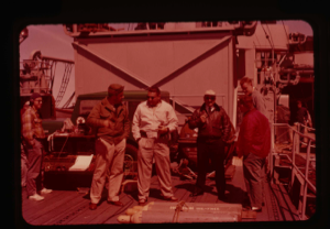
Needleman and Capt. Reinhardt, U.S.S. Atka, discuss plans on deck
Stanley Needleman
35mm slide
20th century Greenland Image
![Image of Ice hummocks on lake [Centrum?]. Equipment in foreground](/media/Previews/1992.27_kiosk/JPEG_flipped/1992.27.151.png)
Ice hummocks on lake [Centrum?]. Equipment in foreground
Stanley Needleman
35mm slide
20th century Greenland image
Your current search criteria is: Portfolio is "Stanley Needleman Operation Groundhog Photographic Collection".
View current selection of records as: