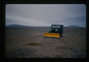
Jeep with plow scraped down high spots on runway to level the surface
Stanley Needleman
35mm slide
20th century Greenland Image
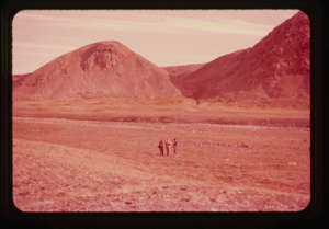
Twin peaks located at Teltbakken, south end of Polaris Promontory
Stanley Needleman
35mm slide
20th century Greenland Image
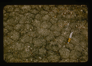
Mudcrack pattern on Polaris Promontory showing compactness and pea-size gravel
Stanley Needleman
35mm slide
20th century Greenland Image
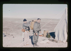
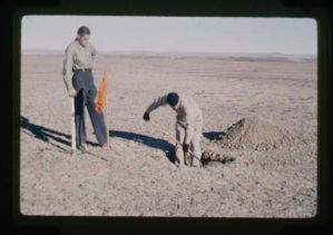
Capt. Klick adds equipment to pack of Needleman prior to reconnaissance
Stanley Needleman
35mm slide
20th century Greenland Image
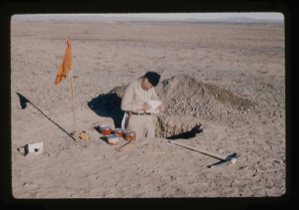
Capt. Klick records soils property data in his field book
Stanley Needleman
35mm slide
20th century Greenland Image
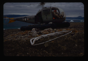
Navy helicopter from USS Atka at British boat camp, Newman Bay near Polaris Prom
Stanley Needleman
35mm slide
20th century Greenland Image

Survey of runway at Polaris Promontory using radio receiver. Wilson & Davies
Stanley Needleman
35mm slide
20th century Greenland Image
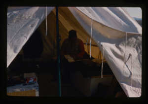
Davies USGS completing field notes in sleeping tent at Polaris Promontory Site.
Stanley Needleman
35mm slide
20th century Greenland Image
Craven and Capt. Klick dig test pit in runway on Polaris Promontory.
Stanley Needleman
35mm slide
20th century Greenland Image
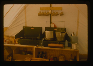
View of kitchen tent, Polaris Promontory
Stanley Needleman
35mm slide
20th century Greenland Image
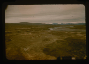
View south of Graystone River (Graasten Elv) and base camp at Polaris Promontory
Stanley Needleman
35mm slide
20th century Greenland Image
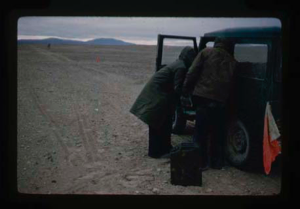
Refueling jeep on runway at Polaris Promontory. Note red flags placed on lake
Stanley Needleman
35mm slide
20th century Greenland Image
Your current search criteria is: Keyword is "CDB".
View current selection of records as: