
 by Artist (4)
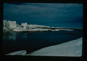
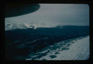
Ice ridges off Cape Morris Jesup, North Greenland coast. Arctic Ocean coastline.
Stanley Needleman
35mm slide
20th century Greenland image
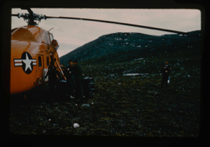
Refueling helicopters from caches at Cape Morris Jesup, North Greenland
Stanley Needleman
35mm slide
20th century Greenland image
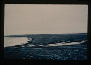
Cape Morris Jesup Valley. View southeast
Stanley Needleman
35mm slide
20th century Greenland image
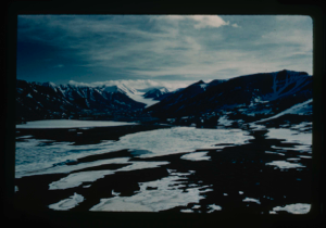
Ice ridges located off Cape Morris Jesup.
Stanley Needleman
35mm slide
20th century Greenland image
Close-up view of Cape Morris Jesup, aerial
Stanley Needleman
35mm slide
20th century Greenland image
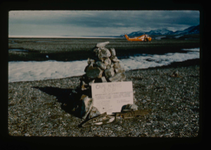
Official cairn on Cape Morris Jesup. US Army helicopters in background.
Stanley Needleman
35mm slide
20th century Greenland image
![Image of Dobbelsodal Lake [Dobbeltsoen] at Cape Morris Jesup, looking north.](/media/Previews/1992.20_kiosk/JPEG_flipped/1992.20.102_flip.png)
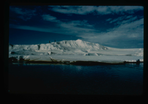
Dobbelsodal Lake [Dobbeltsoen] at Cape Morris Jesup, looking north.
Stanley Needleman
35mm slide
20th century Greenland Image
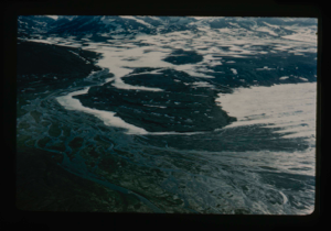
Cape Morris Jesup, most northern land in the world. View of delta from cairn
Stanley Needleman
35mm slide
20th century Greenland Image
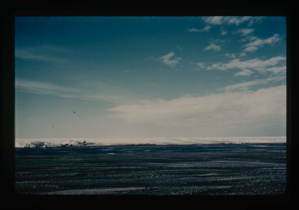
View north toward Greenland Ice Cap.
Stanley Needleman
35mm slide
20th century Greenland image
Aerial view of Cape Morris Jesup; ocean in partial melt; southwest to ice cap
Stanley Needleman
35mm slide
20th century Greenland Image
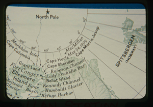
Map: MacMillan Station area (1908-09) Northwest Greenland
Unidentified Artist
35mm slide
20th century Image
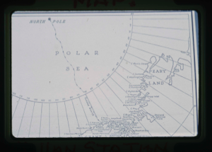
Map: Cape Morris Jesup
Unidentified Artist
35mm slide
20th century Image
Your current search criteria is: Keyword is "CDO".
View current selection of records as: