
 by Artist (11)
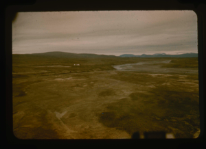
View south of Graystone River (Graasten Elv) and base camp at Polaris Promontory
Stanley Needleman
35mm slide
20th century Greenland Image
View of runway on Polaris Promontory. Note base camp at Graystone River
Stanley Needleman
35mm slide
20th century Greenland Image
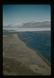
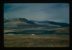
Aertial view of Centrum Lake airstrip on delta.
Stanley Needleman
35mm slide
20th century Greenland Image
Access route - Greenland Ice Cap to Centrum Lake base by Graeselv River
Stanley Needleman
35mm slide
20th century Greenland Image
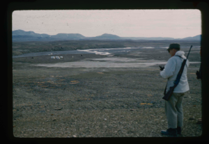
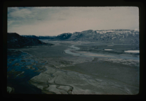
Needleman checks edge of delta under snowcover and drainage features
Stanley Needleman
stereo transparency
20th century Greenland Image
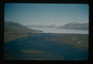
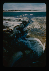
View of delta, west-northwest, Centrum Lake, Graeselv River - braided stream
Stanley Needleman
35mm slide
20th century Greenland Image
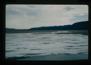
View east of Graeselv River, braided stream, flowing across flood plain
Stanley Needleman
35mm slide
20th century Greenland Image
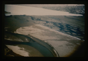
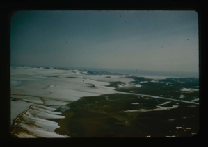
Aerial view of delta at Centrum Lake. Note braided stream of Graeselv River
Stanley Needleman
35mm slide
20th century Greenland Image
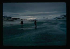
View north, frozen Graeselven River. Personnel: Dr. Dan Krinsely USGS.
Stanley Needleman
35mm slide
20th century Greenland image
Drainage of high areas into Centrum Lake.
Stanley Needleman
35mm slide
20th century Greenland image
Grassrig (Graeselven) River winding back to ice cap.
Stanley Needleman
35mm slide
20th century Greenland image
View of Grassrig (Graeselven) River toward Greenland Ice Cap. Ice still in lake
Stanley Needleman
35mm slide
20th century Greenland image
Your current search criteria is: Keyword is "DWZ".
View current selection of records as: