
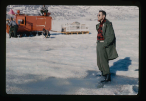
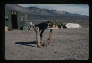
Survey of runway at Polaris Promontory using radio receiver. Wilson & Davies
Stanley Needleman
35mm slide
20th century Greenland Image
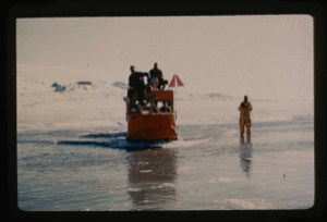
Weasel transporting survey party back to base camp at Centrum Lake through snow,
Stanley Needleman
35mm slide
20th century Greenland image
Operation Groundhog, U.S. Geological Survey, checking initial thaw portions
Stanley Needleman
35mm slide
20th century Greenland Image
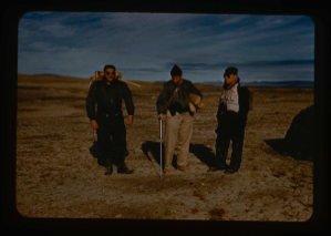
Exploring and surveying Polaris Promontory. Needleman, Klick, Davies
Stanley Needleman
35mm slide
20th century Greenland Image

Marking runway orientation for surveying. Lt. Col. Wilson and Stanley Needleman.
Stanley Needleman
35mm slide
20th century Greenland Image
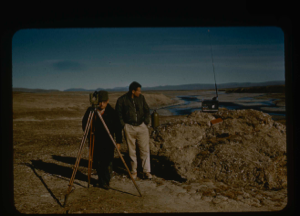
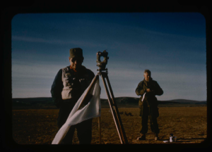
Surveying by theodolite at Polaris Promontory and tying into BBC Greenwich time
Stanley Needleman
35mm slide
20th century Greenland Image
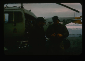
Needleman discusses reconnaissance trip by helicopter with Captain Reinhardt
Stanley Needleman
35mm slide
20th century Greenland Image
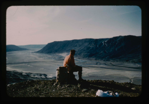
![Image of Surveying of base camp into areal [sp?] map of Centrum Lake area](/media/Previews/1992.27_kiosk/JPEG_flipped/1992.27.35.png)
Surveying of base camp into areal [sp?] map of Centrum Lake area
Stanley Needleman
35mm slide
20th century Greenland Image
Kinsellar, surveyor, is checking base line of airstrip from Centrum Lake Base
Stanley Needleman
35mm slide
20th century Greenland Image
Surveying of airstrip, Polaris Promontory, Personnel: Davies, Norvang.
Stanley Needleman
35mm slide
20th century Greenland Image
Geological reconnaissance near Centrum Lake. Stan Needleman USAF
Stanley Needleman
35mm slide
20th century Greenland image
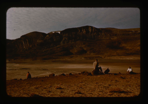
Geological reconnaissance of Centrum Lake area about 20 miles from ice cap
Stanley Needleman
35mm slide
20th century Greenland image
Your current search criteria is: Keyword is "EDP".
View current selection of records as: