
 by Artist (11)
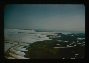
Access route - Greenland Ice Cap to Centrum Lake base by Graeselv River
Stanley Needleman
35mm slide
20th century Greenland Image
Access route in Northeast Greenland to ice cap and down to Centrum Lake.
Stanley Needleman
35mm slide
20th century Greenland Image
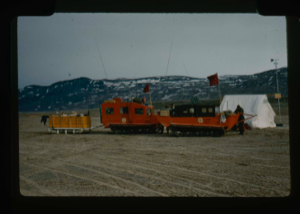
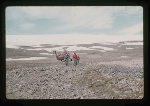
Advance party of US Army Ice Cap Expedition (Lead Dog Operation)
Stanley Needleman
35mm slide
20th century Greenland image
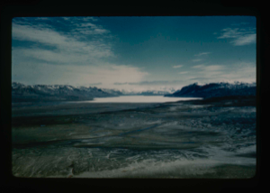
Aerial view of Cape Morris Jesup; ocean in partial melt; southwest to ice cap
Stanley Needleman
35mm slide
20th century Greenland Image
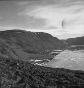
Cape Harrison, ice cap, Etah
Rutherford Platt
safety film negative
20th century Greenland image
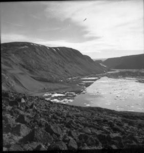
Cape Harrison, ice cap, Etah
Rutherford Platt
safety film negative
20th century Greenland image

Cape Harrison, ice cap, Etah
Rutherford Platt
safety film negative
20th century Greenland image
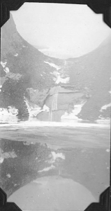
Centrum Lake Valley. View from the west. Ice cap in the background.
Stanley Needleman
35mm slide
20th century Greenland image
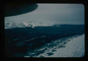
Checking edge of Greenland Ice Cap for access route to Centrum Lake
Stanley Needleman
35mm slide
20th century Greenland Image
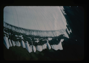
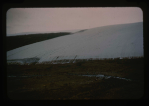
Close-up aerial view, edge of Greenland Ice Cap in Centrum Lake area
Stanley Needleman
35mm slide
20th century Greenland Image
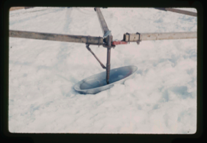
Close-up view of single dish of array as a crevasse detector
Stanley Needleman
35mm slide
20th century Greenland Image
Your current search criteria is: Keyword is "EHJ".
View current selection of records as: