Alternate runway orientation, Polaris Promontory.
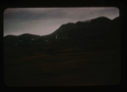
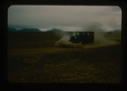
Mountains in southern Polaris Promontory. Average 3,000 ft. ASL
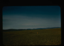
Size perspective of airstrip. 5000 feet in length plus overrun areas.
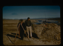
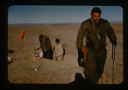
Surveying by theodolite at Polaris Promontory and tying into BBC Greenwich time
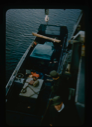
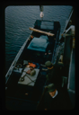
Lowering jeep and equipment into landing barge from U.S.S. Atka
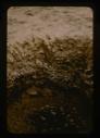
Inside a soil test pit in the center of the airstrip at Polaris Promontory
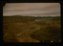
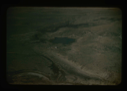
Aerial view of river near base camp that provided drinking water. Note tents
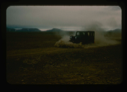
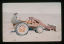
Jeep dozing airstrip surface, Polaris Promontory. Note aridity of the soil.
Loading jeep with plow into USS Atka landing barge for transport to shore
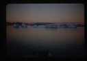
Landing barge from the icebreaker to Polaris Promontory beach. Required skirting
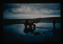
Tractor crossing on Polaris Promontory. Duckboards were used to ford the rivers.
Aerial view at lower altitude of runway area on Polaris Promontory.
Light grading of runway microrelief on Polaris Promontory.
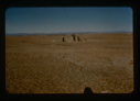
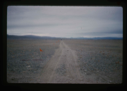
Completed natural runway on Polaris Promontory. Red flags mark path
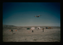
C-130 aircraft approaching airstrip for landing at Polaris Promontory.
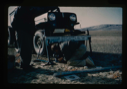
Field soil engineering tests, using jeep for loading.
Soils test engineering, airstrip, Polaris Promontory. Bearing strength rechecks.
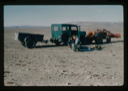
Transportation system includes tractor hauling disabled jeep with trailer
Tractor used to prepare airstrip surface at Polaris Promontory.
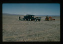
Soils engineering conducted on airstrip while grading is done by tractor
Your current search criteria is: Keyword is "CDB".
Go to Top
Last updated: 07/26/2024