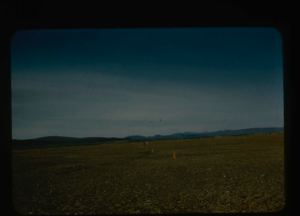
Alternate runway orientation, Polaris Promontory.
Stanley Needleman
35mm slide
20th century Greenland Image
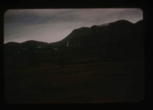
Mountains in southern Polaris Promontory. Average 3,000 ft. ASL
Stanley Needleman
35mm slide
20th century Greenland Image
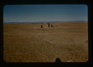
Size perspective of airstrip. 5000 feet in length plus overrun areas.
Stanley Needleman
35mm slide
20th century Greenland Image
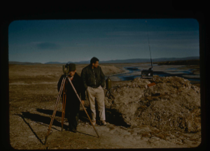
Surveying by theodolite at Polaris Promontory and tying into BBC Greenwich time
Stanley Needleman
35mm slide
20th century Greenland Image
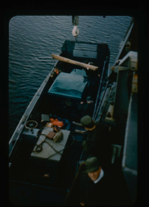
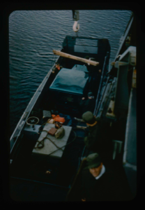
Lowering jeep and equipment into landing barge from U.S.S. Atka
Stanley Needleman
35mm slide
20th century Greenland Image
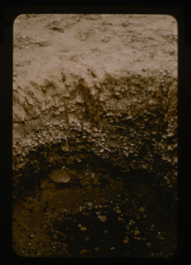
Inside a soil test pit in the center of the airstrip at Polaris Promontory
Stanley Needleman
35mm slide
20th century Greenland Image
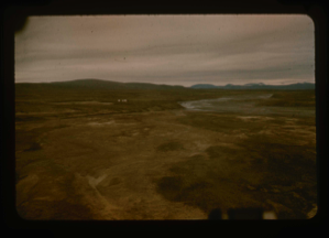
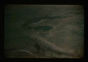
Aerial view of river near base camp that provided drinking water. Note tents
Stanley Needleman
35mm slide
20th century Greenland Image
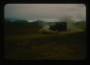
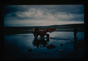
Jeep dozing airstrip surface, Polaris Promontory. Note aridity of the soil.
Stanley Needleman
35mm slide
20th century Greenland Image
Loading jeep with plow into USS Atka landing barge for transport to shore
Stanley Needleman
35mm slide
20th century Greenland Image
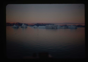
Landing barge from the icebreaker to Polaris Promontory beach. Required skirting
Stanley Needleman
35mm slide
20th century Greenland image
Tractor crossing on Polaris Promontory. Duckboards were used to ford the rivers.
Stanley Needleman
35mm slide
20th century Greenland image
Aerial view at lower altitude of runway area on Polaris Promontory.
Stanley Needleman
35mm slide
20th century Greenland image
Your current search criteria is: Keyword is "CDB".
View current selection of records as: