 by Artist (7)
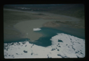
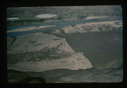
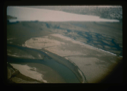
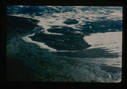
![Image of Omers Lake along Arctic Ocean in Northeast Greenland (R. Sykes) [Romer Sø?]](/media/Thumbnails/1992.27_kiosk/JPEG_flipped/1992.27.213.png)
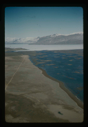
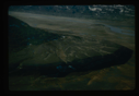
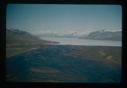
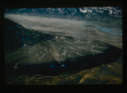
![Image of Dobbelsodal Lake [Dobbeltsoen] at Cape Morris Jesup, looking north.](/media/Thumbnails/1992.20_kiosk/JPEG_flipped/1992.20.102_flip.png)
Your current search criteria is: Keyword is "Aerial photographs".
View current selection of records as:| FILTER RESULTS | × Close |
| FILTER RESULTS | × Close |
 by Artist (7)
by Century (2)
by Country (5)
by Object Type (2)
by Artist (7)
by Century (2)
by Country (5)
by Object Type (2)
Your current search criteria is: Keyword is "Aerial photographs".
View current selection of records as: